


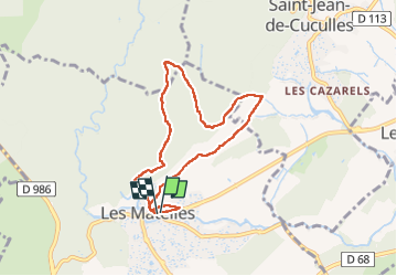

11,4 km | 19,8 km-effort


Gebruiker


Gratisgps-wandelapplicatie
 SityTrail
IGN / Geografische instituten
SityTrail World
De wereld gaat voor u open
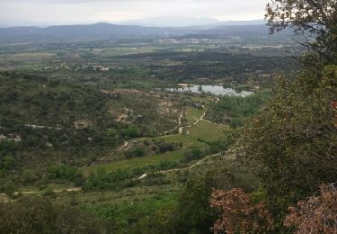
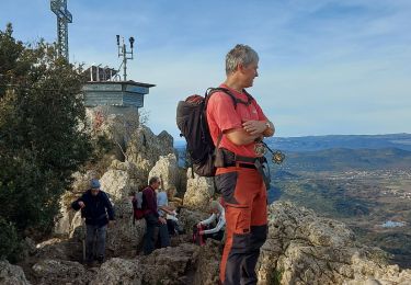
Tocht Stappen van 7,5 km beschikbaar op Occitanië, Hérault, Les Matelles. Deze tocht wordt voorgesteld door RANDO 2 ARS.
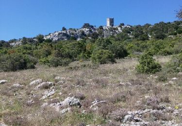
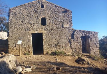
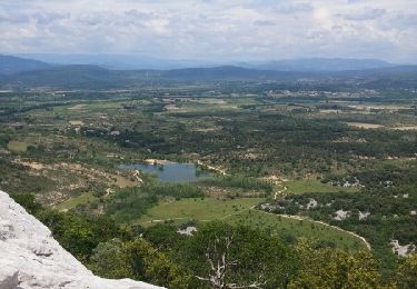
Départ par le chemin de Tabar puis chemin bien balisé en jaune dénivelé de 200 m . terrain trés pierreux .
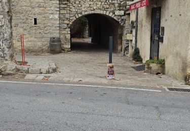
Retour par le chemin des combelle .
Stappen
Stappen
Stappen
Noords wandelen
Stappen
Stappen
Stappen
Stappen
Stappen